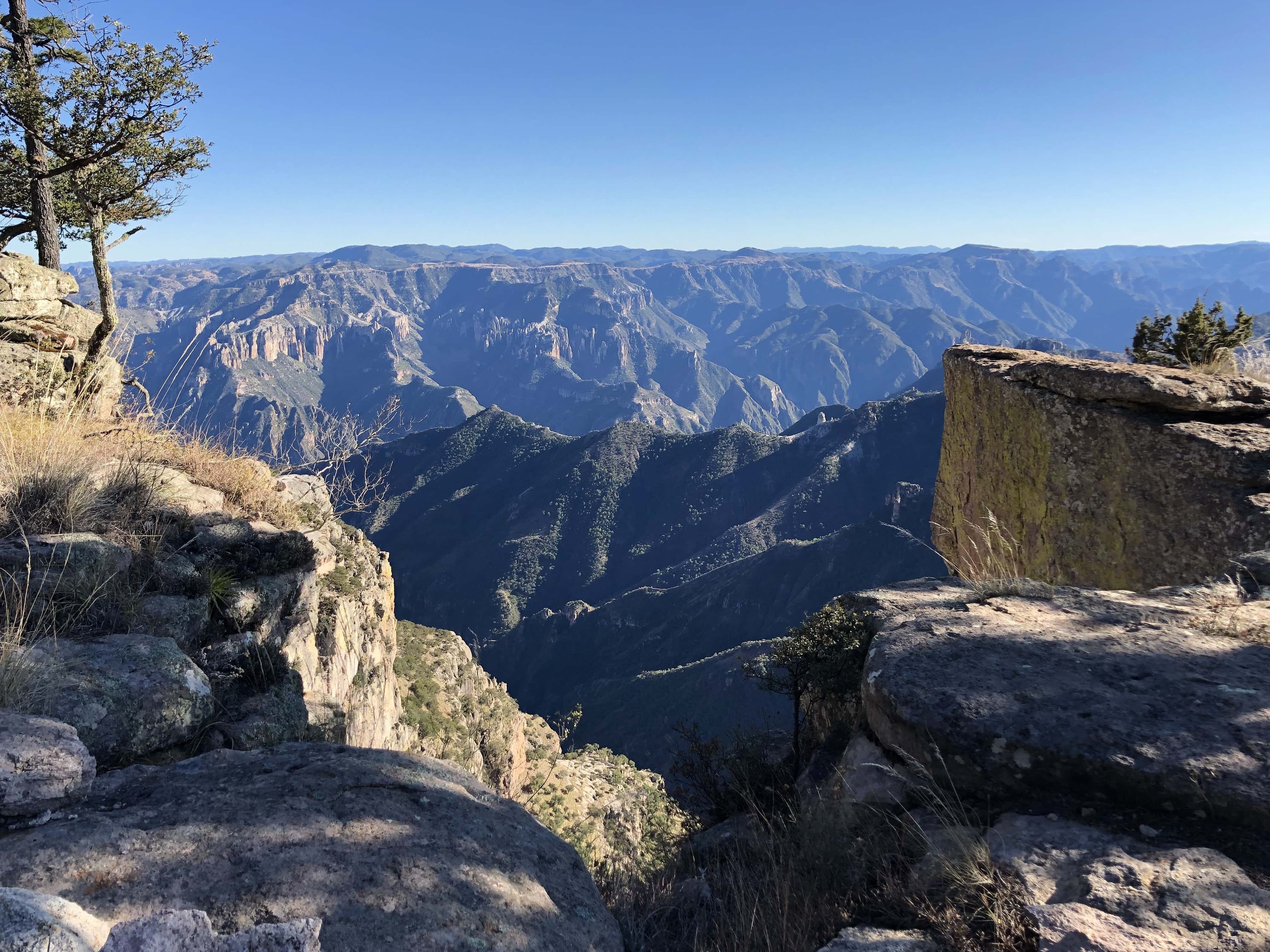
It is Friday! Here are five more Mountain Hexes! (part of my Wilderness Hexes project). We have made it to 40, so I might take a detour into the Swamps for a chance of scenery.
Browse the hexes tag on this blog for more.
It is Friday! Here are five more Mountain Hexes! (part of my Wilderness Hexes project). We have made it to 40, so I might take a detour into the Swamps for a chance of scenery.
Browse the hexes tag on this blog for more.
Five more Mountain Hexes! (part of my Wilderness Hexes project)
Browse the hexes tag on this blog for more.
Decided to dust off my Wilderness Hexes project and continue climbing towards 100 for each Terrain-type. Here are five more Mountain Hexes!
Here's a brief breakdown of what's in this draft:
Browse the hexes tag on this blog for more.
I’ve been thinking about Mountain Ranges a bit lately in preparation for some supplemental tools/tables for generating some names and flavor for the Mountain Hexes. In my musings, I hit upon the idea to procedurally generate a primitive visual profile using area charts.
Here’s a rough idea for a Mountain Range generator (using Google Sheets for web-based compatibility, sample output and link below).

It could definitely benefit from a little more variety for the naming (I’ve only included some short tables as a proof of concept here) and some tinkering with the data series, but there might be some potential with this approach. It could be interesting to include some options for “young and tall” ranges (à la the Himalayas) as well as “old and worn” types (like the Appalachian Mountains). It is also tempting to nest a few more data series as well or have the number of series plotted to be randomly determined for more or less visual depth.